Iron Mountain (#53)
Day 45, Iron Mountain
I unloaded my heavy pack, skis, boots, and other gear in between a fancy hotel and a shiny ski lift. Thanking Ayelet for the ride up to Mammoth Mountain Resort, I swung my pack onto my back and skinned up a freshly groomed cat track, feeling decidedly out of place. Lifties and ski patrollers zipped by on snowmobiles, preparing to open the resort for the day. While hundreds of skiers eagerly anticipated effortlessly ripping endless groomer laps under the warm spring sun, I was headed out for three days of lonely backcountry slogging. Thank goodness.
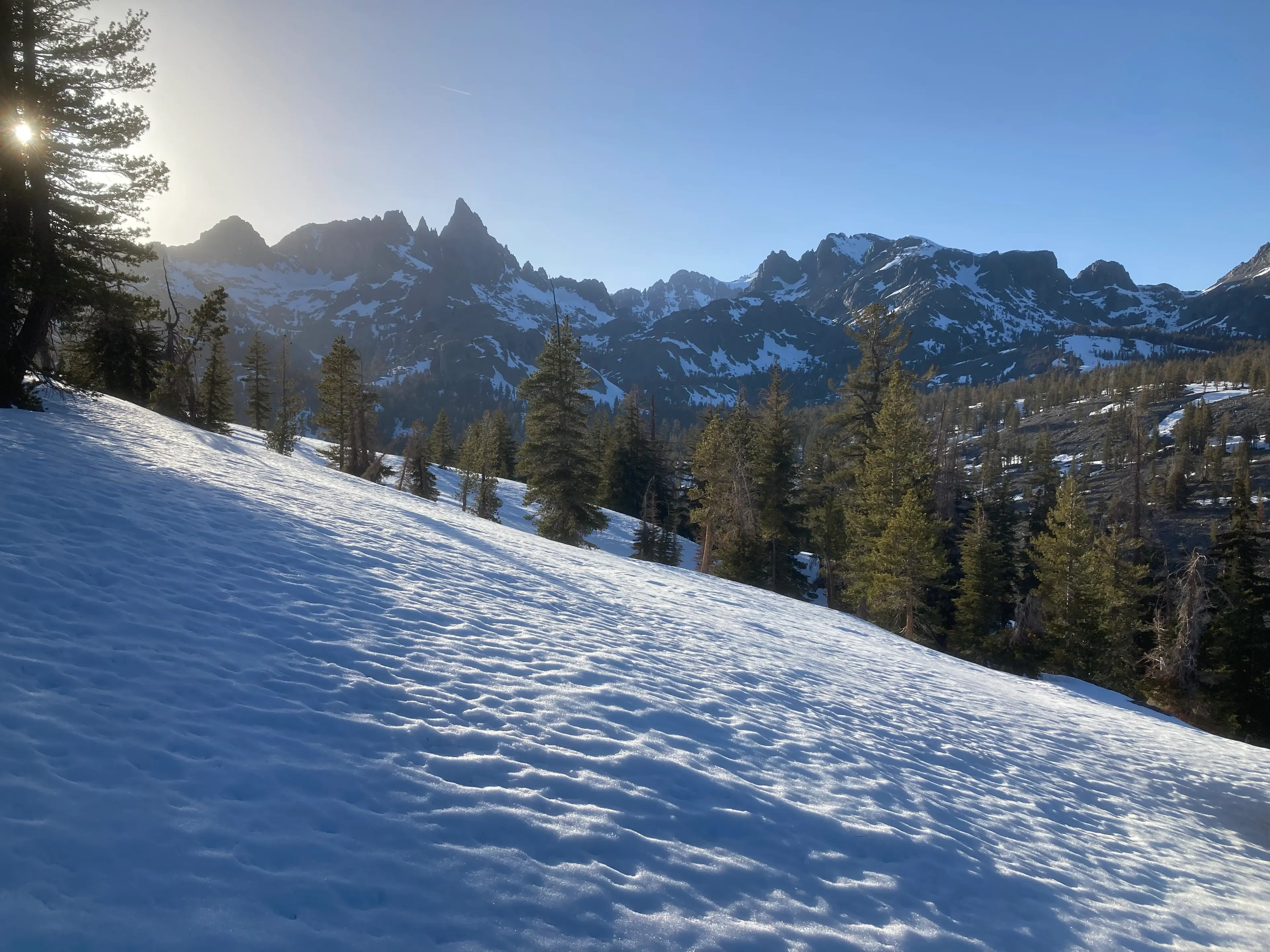
I was bound for the Ritter Range, a wonderful group of peaks characterized by dark, volcanic rock and sharp summits. The distinct, impossibly jagged skyline of Ritter, Banner, and the Minarets is visible from many miles away. Access in the winter is tough, and I eagerly anticipated solitude, great skiing, and lovely springtime weather.
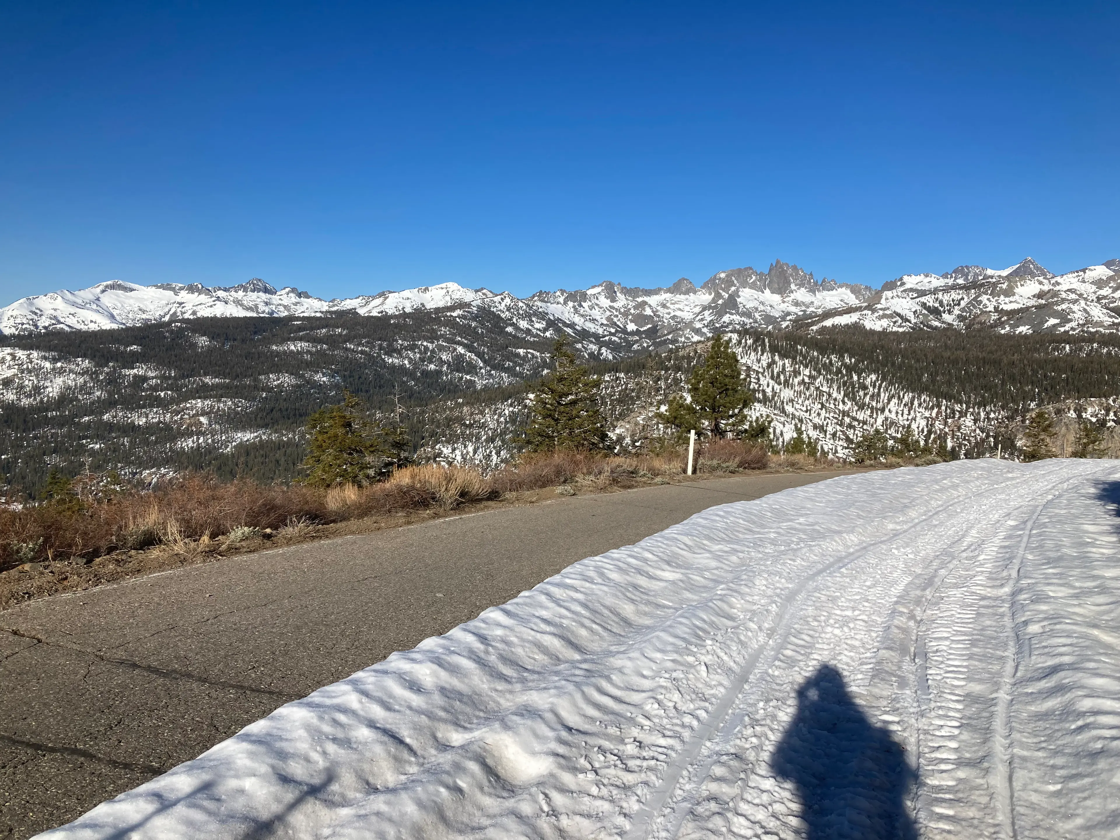
After a few minutes of flat road walking, the land before me suddenly dropped away into the deep San Joaquin River valley. The road also descended, dropping 1,500 feet in a few miles. These miles slid by quickly, but the price would surely be paid on the return journey. I very quickly reached the bottom of the valley, turning 180 degrees to follow the river downstream. Here, the valley floor is flat and meadowy, and travel became more tedious. Reluctant to stop and transition, I pushed myself along the flat road, frequently shuffling across patches of dry asphalt.
I left the road to search for a river crossing to shave off some distance, but found the San Joaquin flowing wide and fast, swollen with spring melt. I was forced to continue downstream until I reached the bridge at Devil’s Postpile. This section took much longer than I’d anticipated, and by the time I finally reached the trailhead, it was late morning and the sun was high and hot.
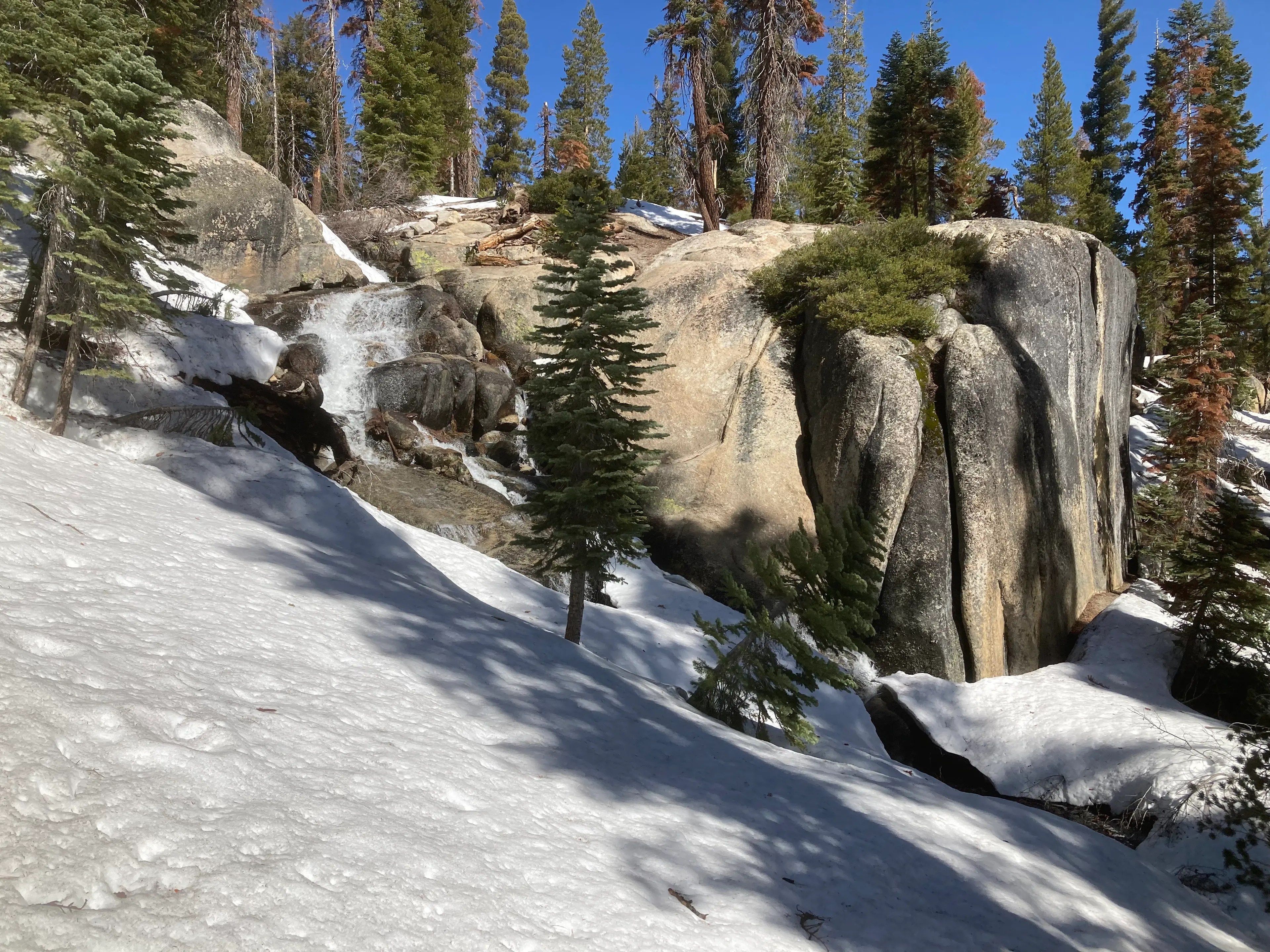
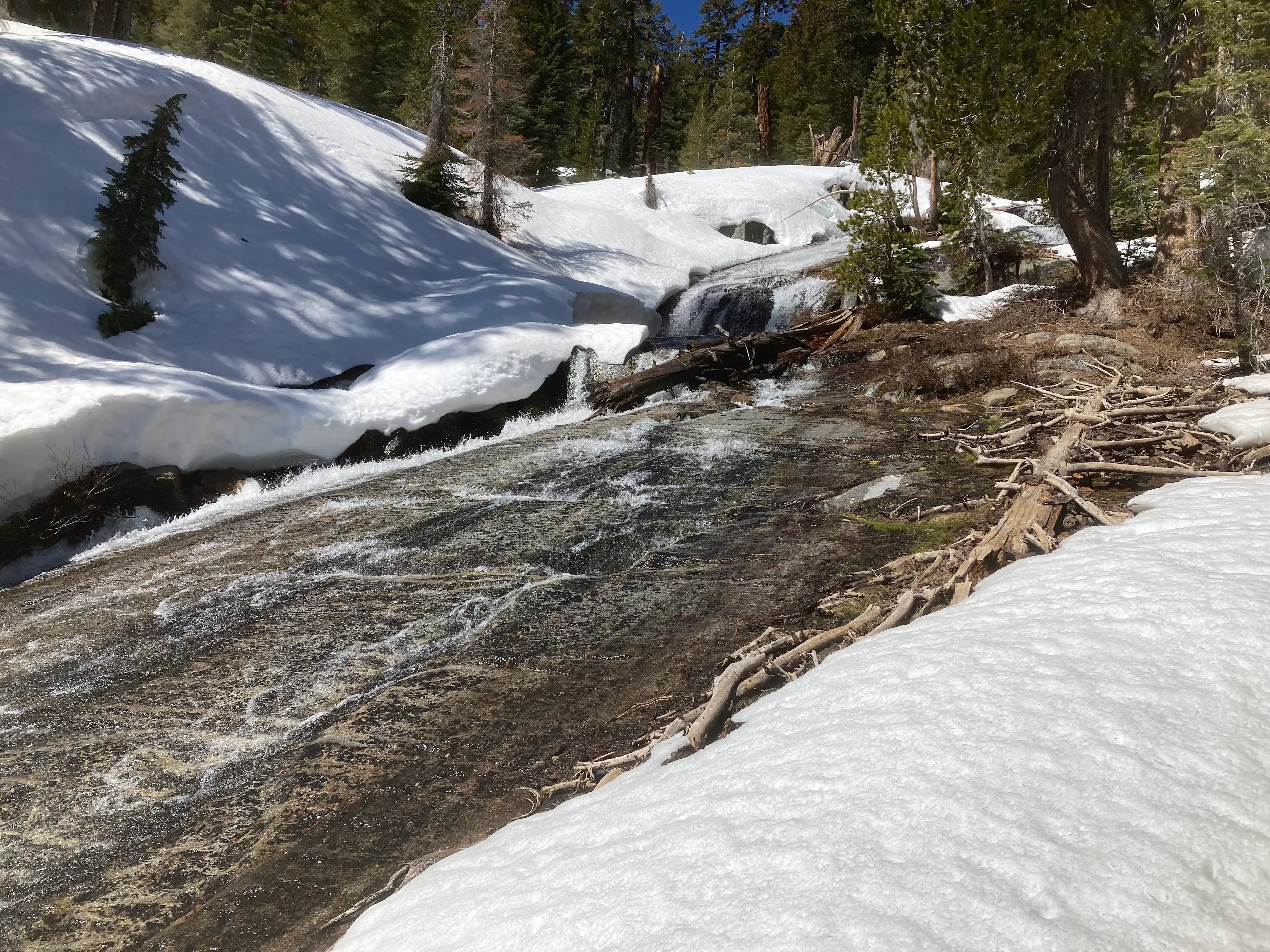
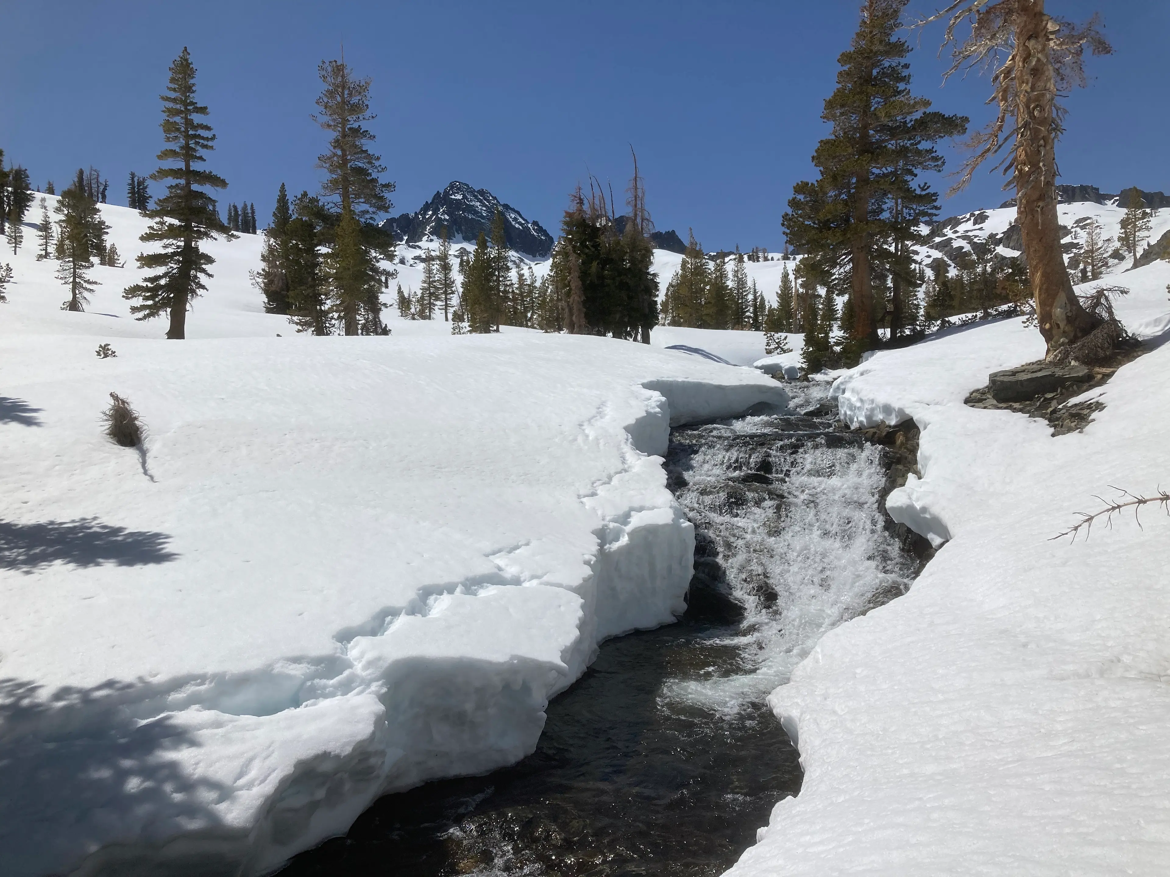
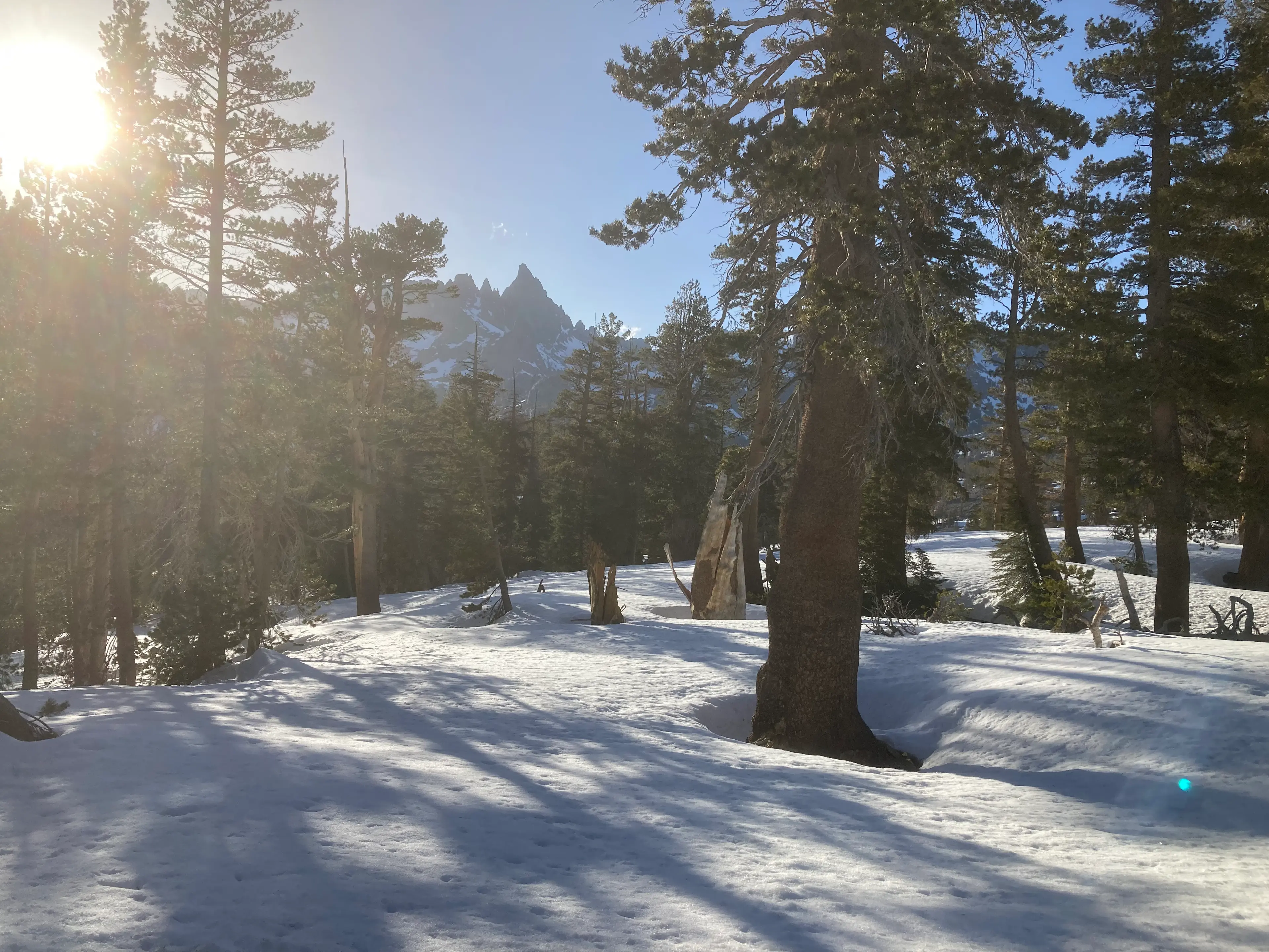
I was concerned that the coming climb would be miserable, with soft snow, blazing heat, and a heavy overnight pack. In reality, it proved to be quite pleasant, as I followed a lovely, cascading creek through a shady forest at a mellow pace.
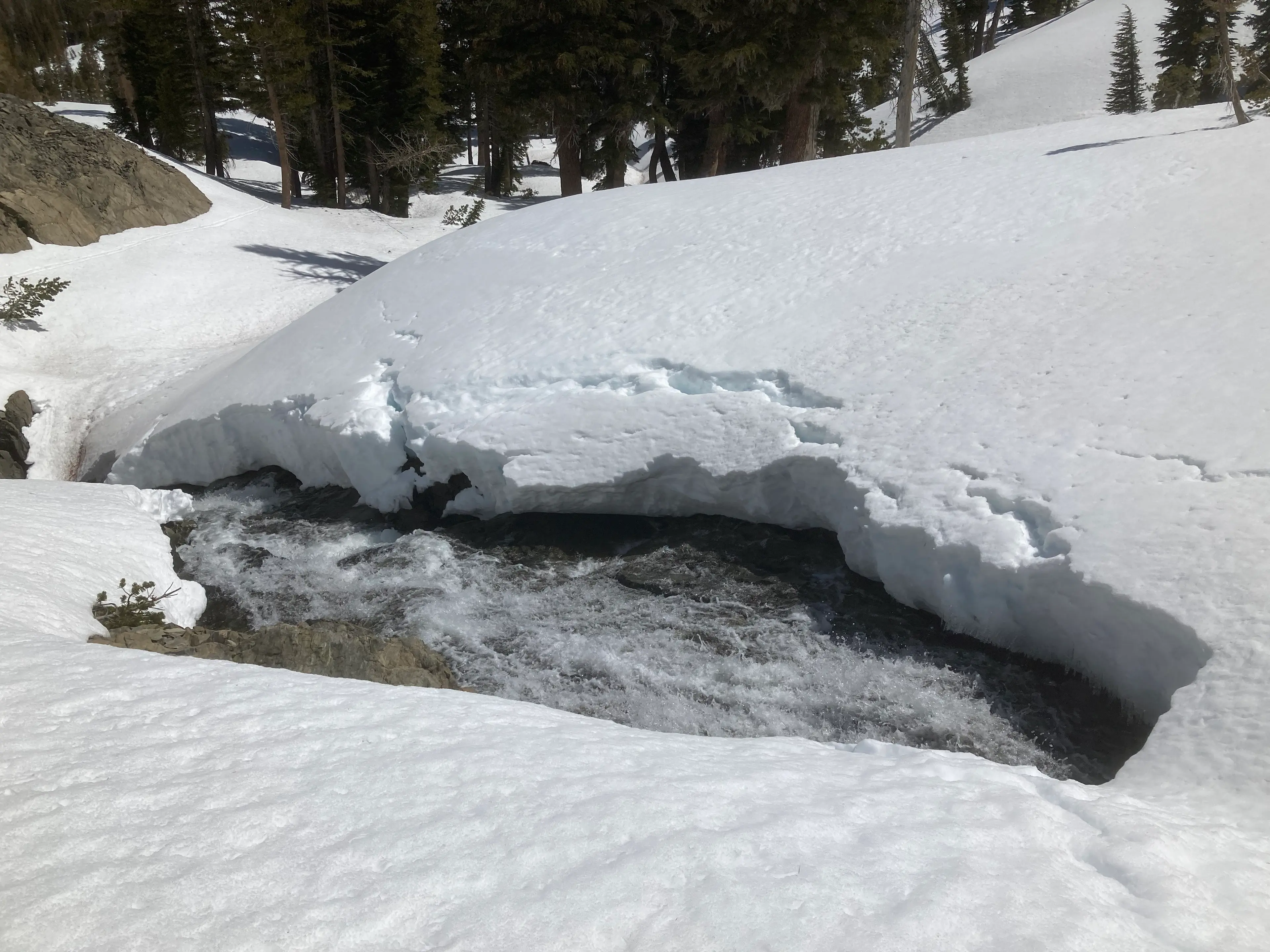
It was a picturesque spring day, with birds chirping and clear water rushing by. Paradise. I reached the point where I had determined would be most efficient to drop my overnight gear, then continued on towards Iron Mountain, happy to have a much lighter load.
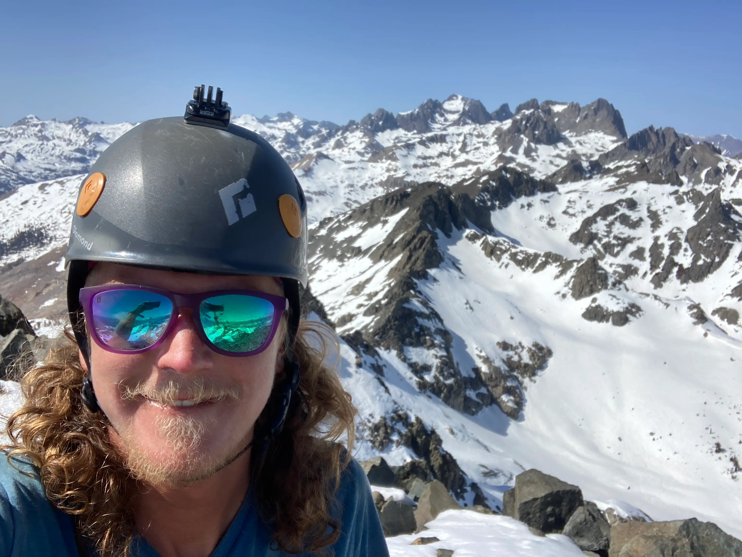
Although it is barely over 11,000 feet, puny compared to most High Sierra peaks, Iron is situated at the southern end of the Ritter Range and bears the dramatic form and prominence of a much higher mountain.
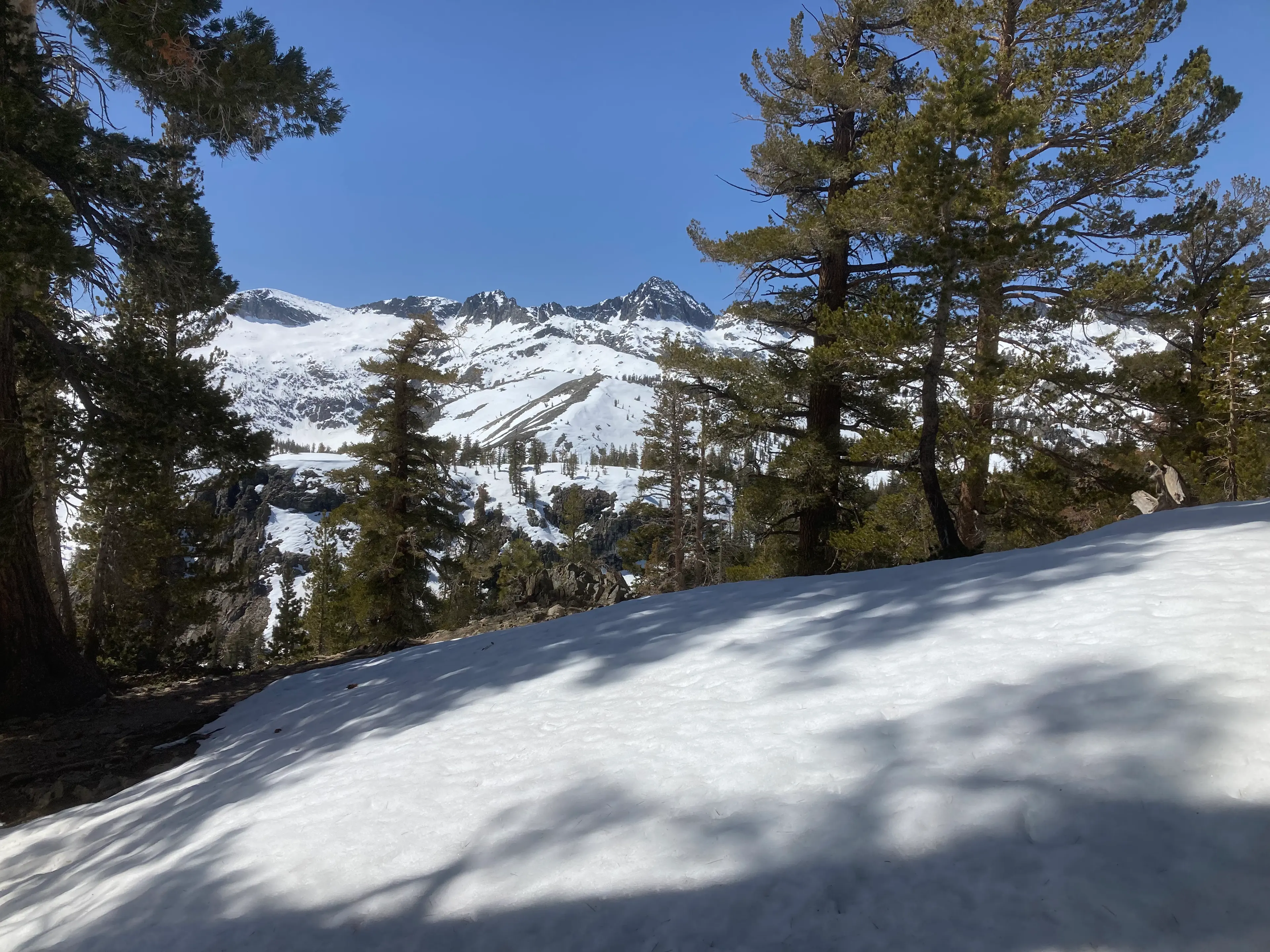
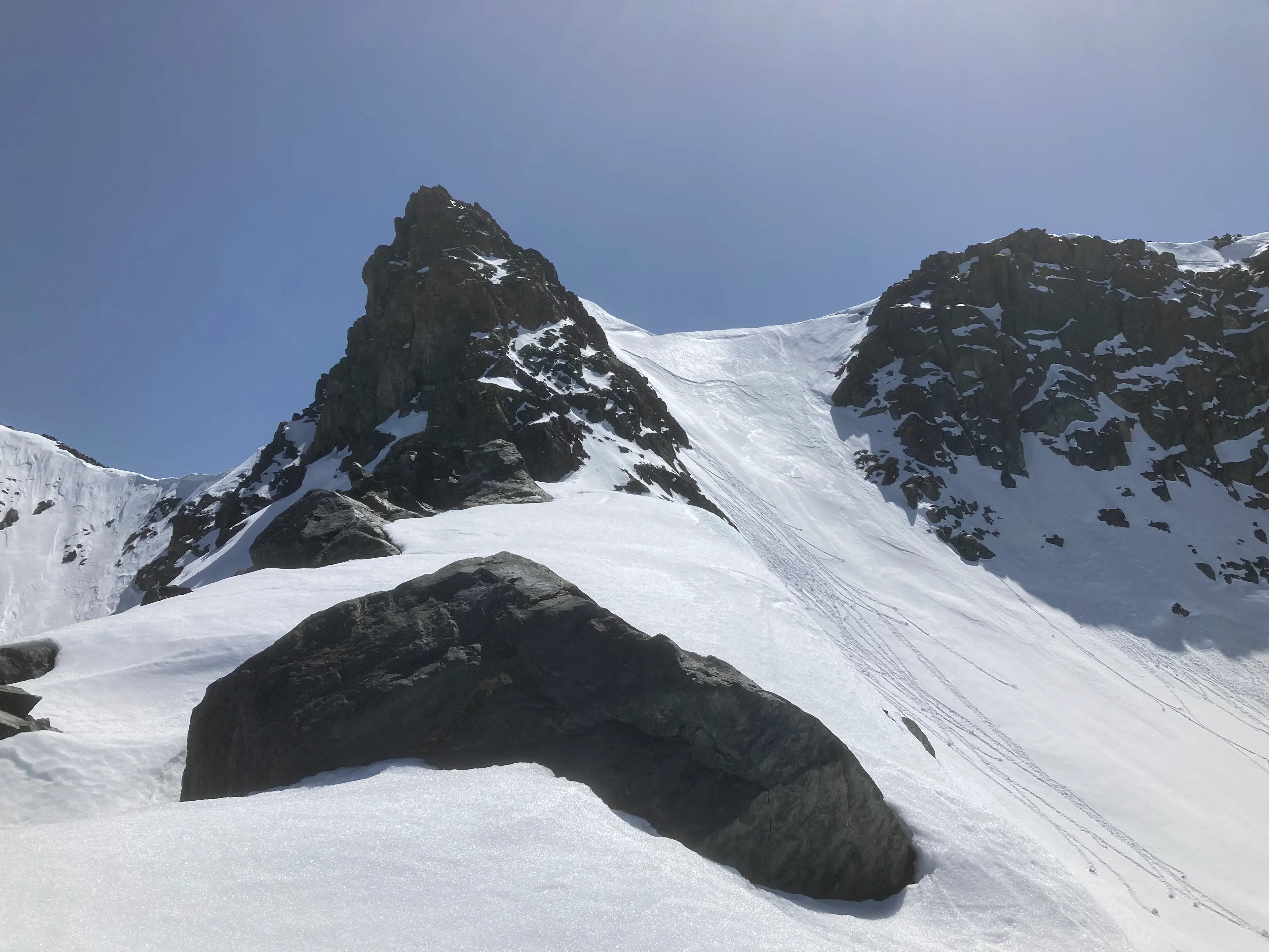
I caught occasional glimpses of its steep, dark north face through the trees, and it appeared to be much larger and further away than it really was. Before long, I stood below that looming wall, studying my planned line of ascent.
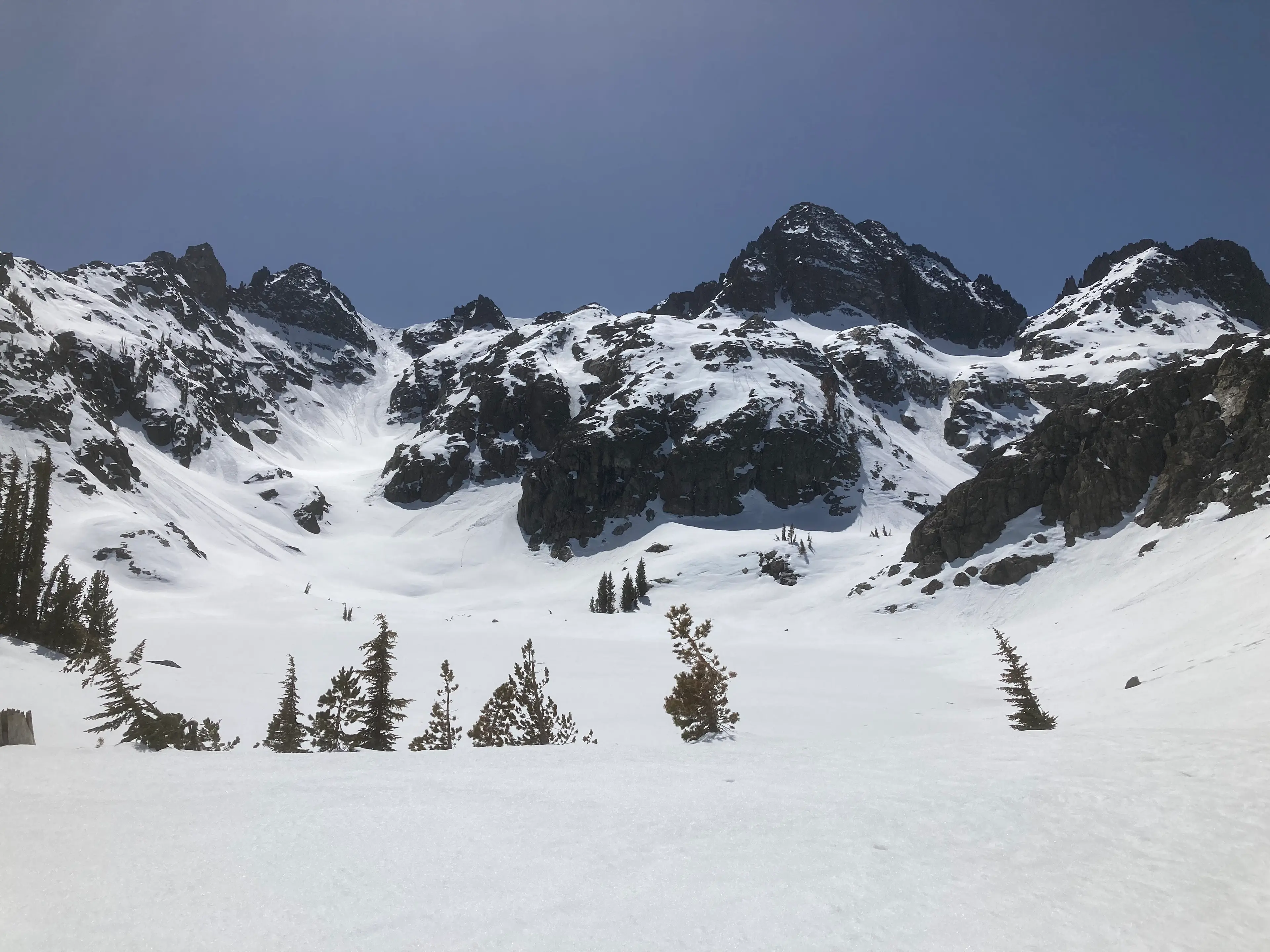
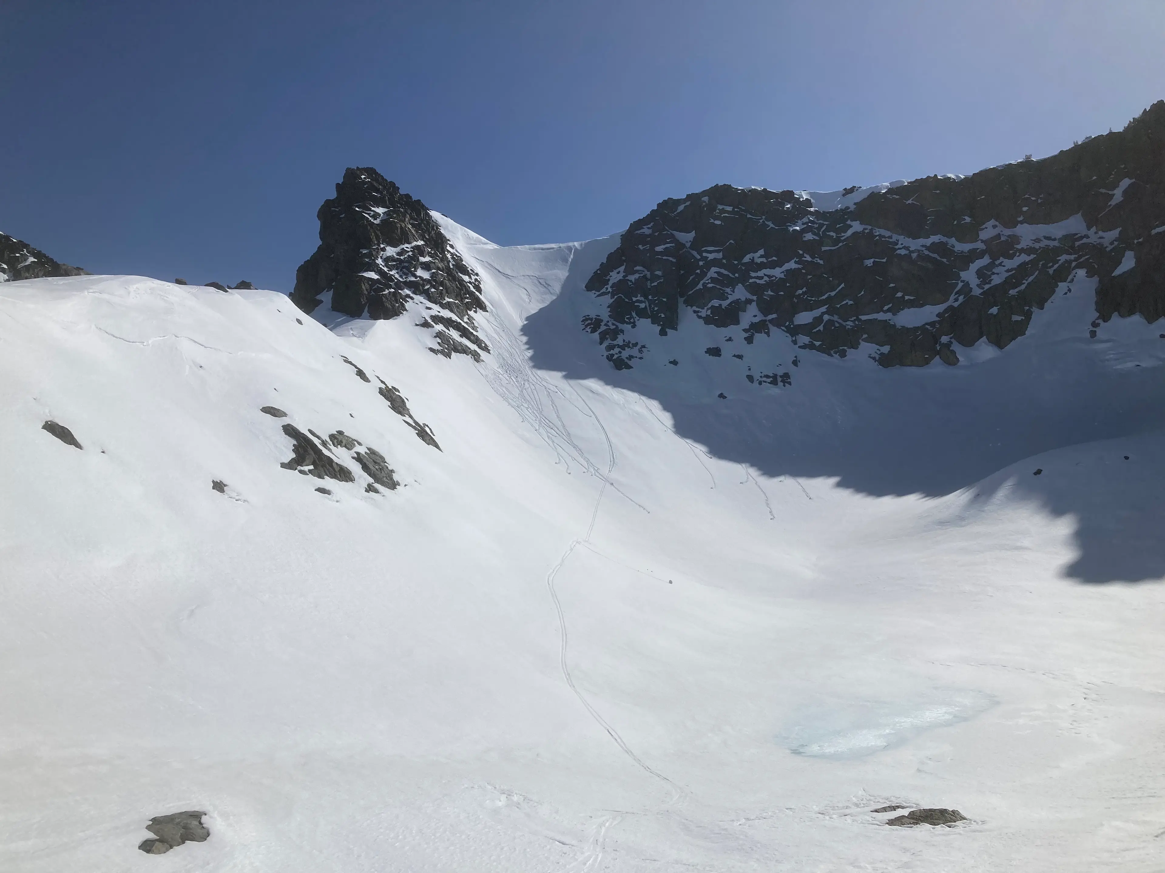
It was a fairly moderate gully, but was filled with avalanche debris that had cascaded down from its steep walls. It looked like an unpleasant and dangerous place to be. Fortunately, an alternate route was available, which was much less exposed to hazards above.
I skinned my way up, finding that the soft but heavy snow was perfect for securely skinning up the steep slope. In most conditions, I would have switched to booting. It might be the steepest pitch I’ve ever skinned!
After a flat bench, another, steeper step led to the summit ridge line.
Not in the mood for sloggy postholing, I opted to bypass it, climbing a 3rd class buttress of snowy rock instead. It was slow travel, but physically easy. Topping out onto the ridge, I dropped my skis and made the short jaunt up to the summit.
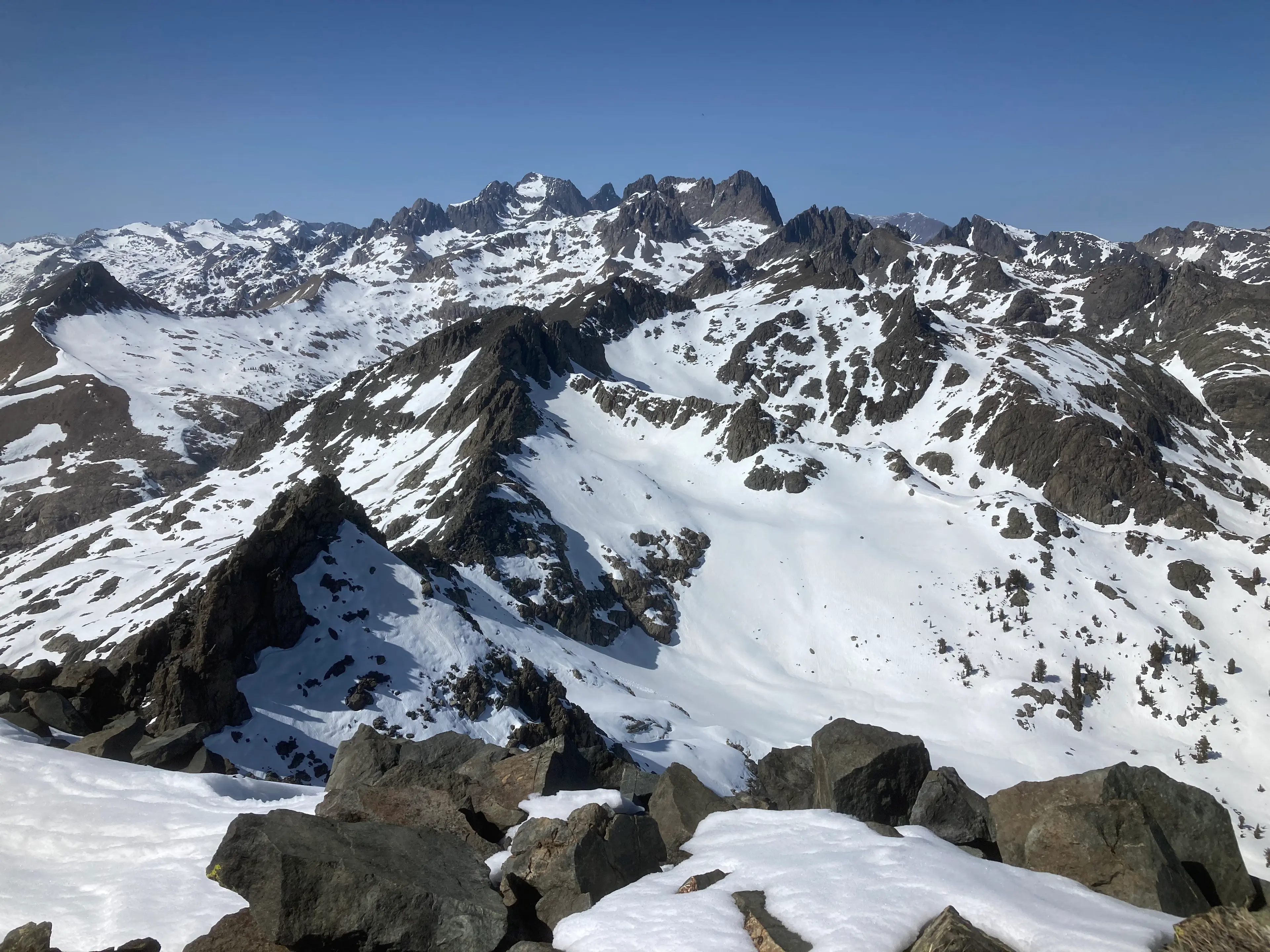
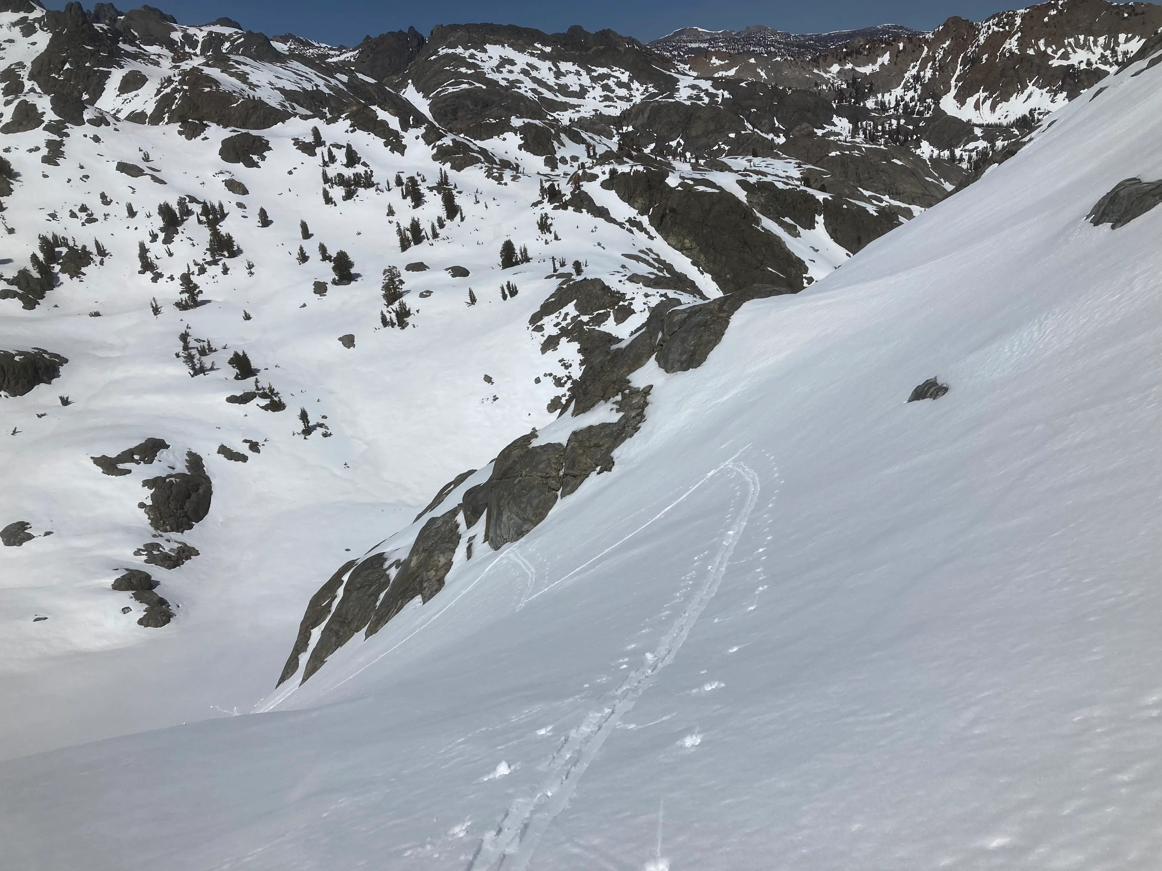
The views were expansive, the air crystal clear, and I eagerly gazed north towards the soaring teeth of the peaks to come. I returned to my skis and, eschewing the hard work of making turns in the heavy, overcooked, late afternoon snow, straight-lined down the steep slope, dropping hundreds of feet in seconds.
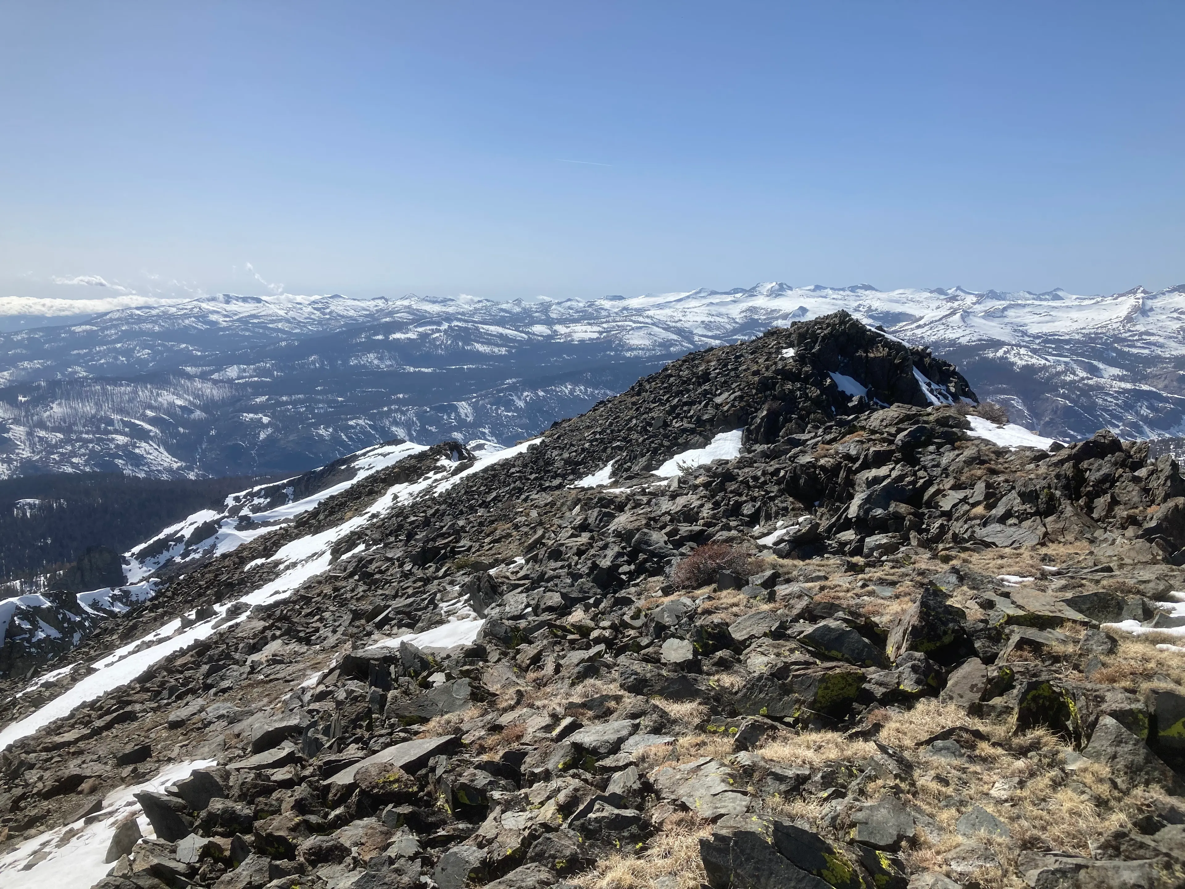
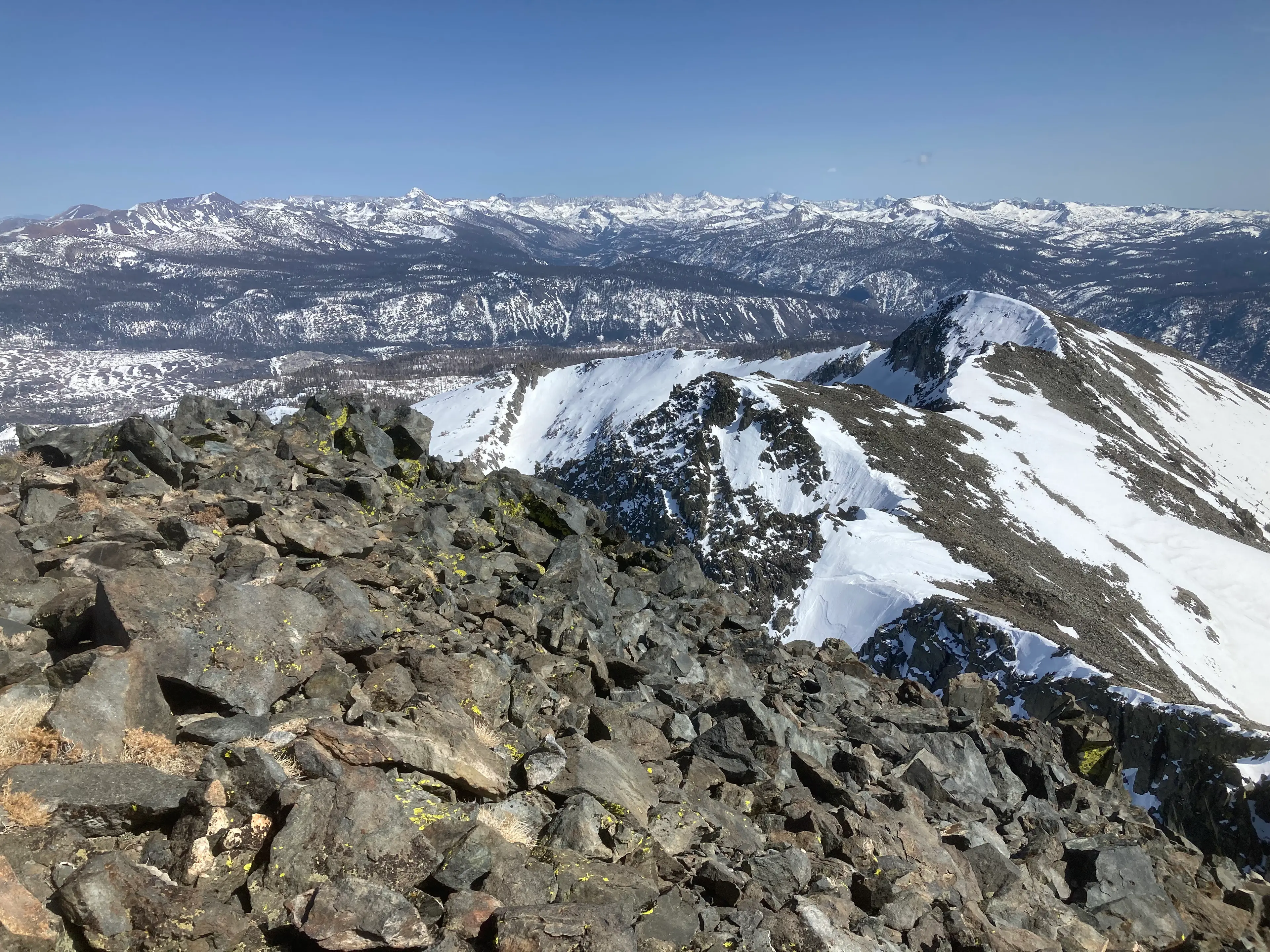
It made for a great little ride. I made the long traverse back to my stashed gear, happy to find it undisturbed, then continued contouring around into the next drainage north. It was a wonderfully efficient line, if I may say so. One of my favorite aspects of snow travel is the opportunity for creative and efficient route finding.
As I rounded a bend, an impossibly sharp tooth of rock reared up high above me, silhouetted by the setting sun: Clyde Minaret.
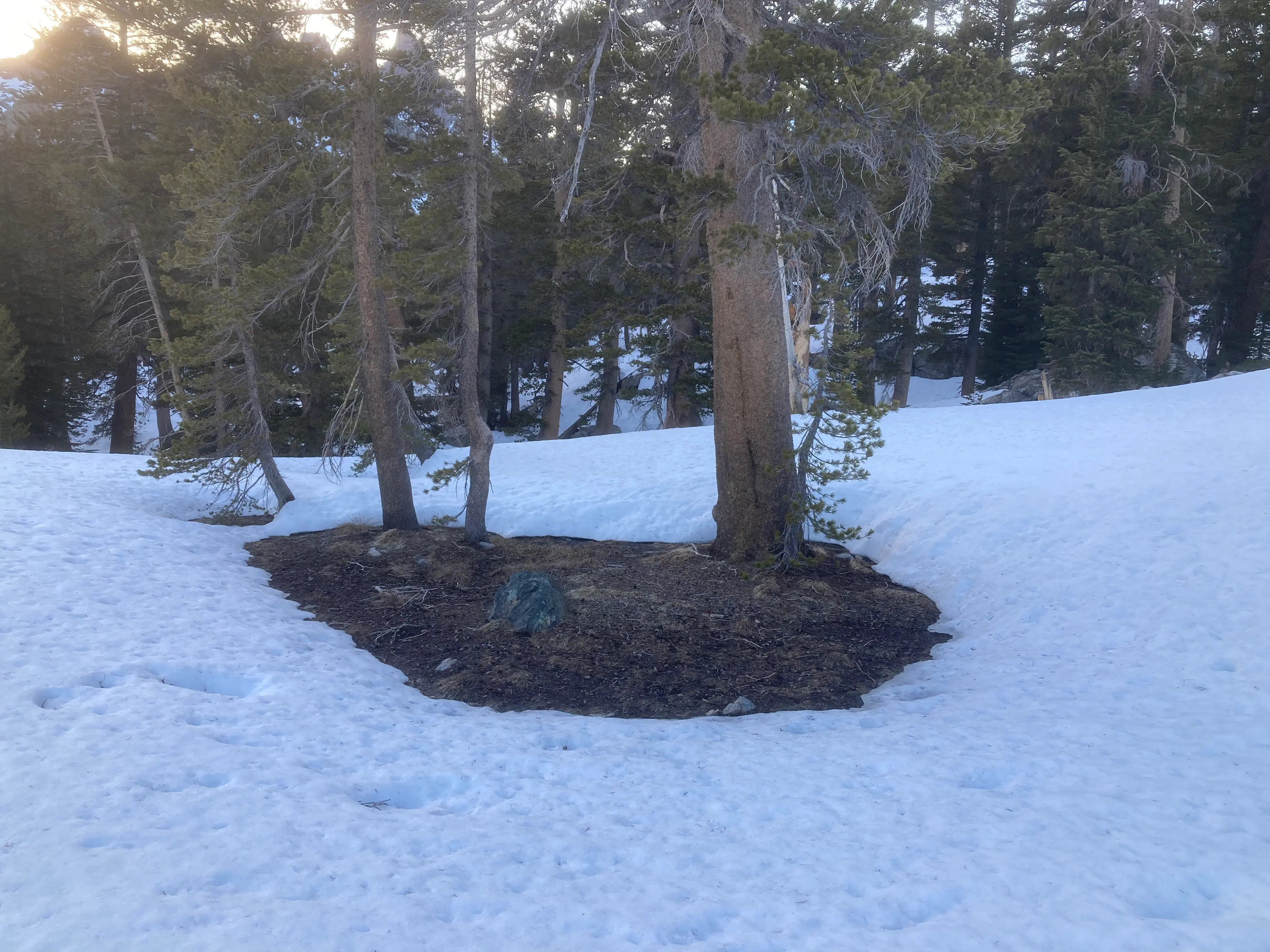
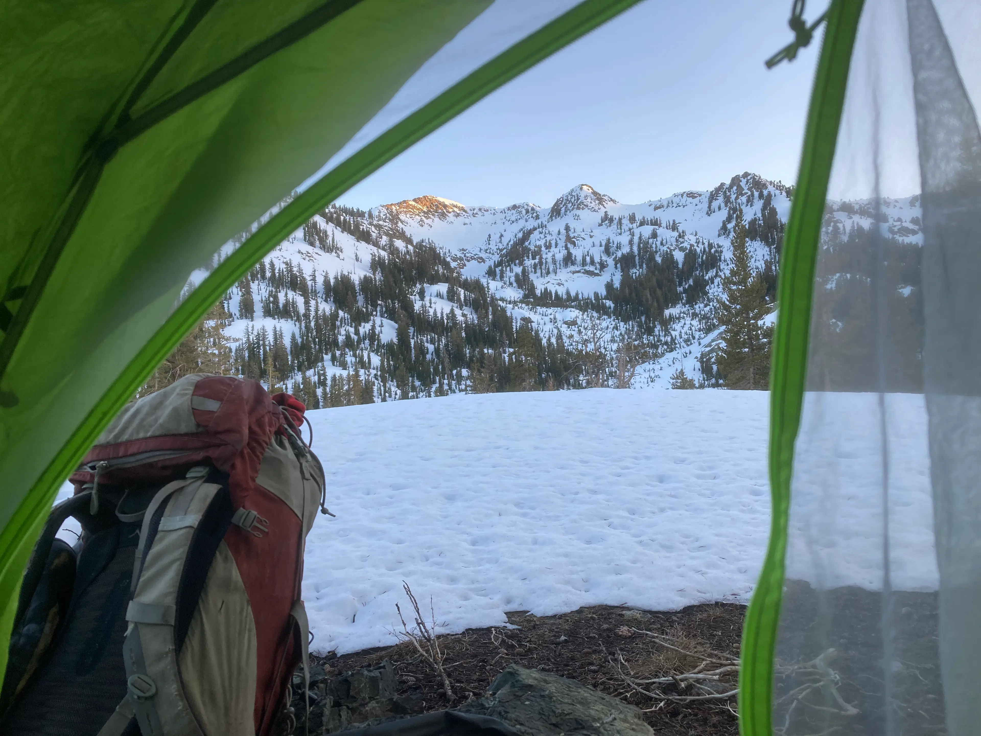
I coasted down to the meadow below, pitching my tent in a perfect little island of dry, flat dirt, with a perfect view of that shard of rock framed between the pines.
Note: as Nathan's watch ran low on battery it decreased quality and ultimately stopped recording GPS for the last couple of miles.
View the activity here.